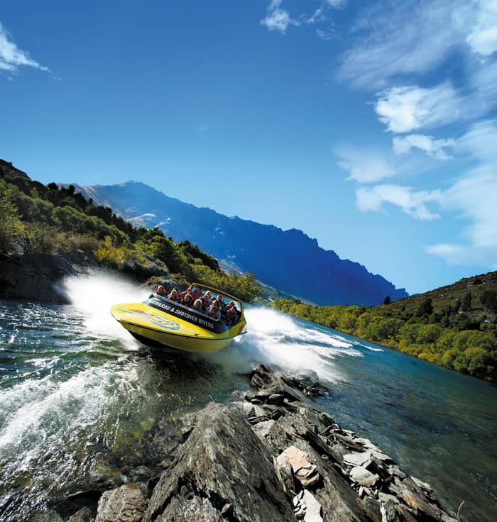
On the water
Canyon jet boat
Road drive plus river
- Length3 hours
- On the riverAbout 25 minutes
- Minimum age3 years
Guides
Language
Currency
See what is openfrom $87 · cancelling is freeYour group, priced
The short version
A Skippers Canyon jet boat from Queenstown is a guided bus drive down the hand-cut Skippers Road followed by about 25 minutes on the upper Shotover River, 2.5 to 3 hours in all.
Plan around
Compare 3 alternatives
Choose how many are coming to see the canyon jet beside the road tours.
≈
View≈
View≈
ViewCurrency conversion uses the ECB reference rate on GetYourGuide from-prices. The exact price is displayed when you book.
A Skippers Canyon jet boat from Queenstown is half road trip, half river run. Here is the hand-cut gravel road, the gold rush ghost town, the canyon ride itself and how to plan the morning.
Editorial team, queenstownjetboat.quest · Updated November 8, 2026 · Reading: 8 min
The essentials
A Skippers Canyon jet boat from Queenstown is unusual because getting to the boat takes longer than the ride. The trip begins with a guided drive into the canyon, with commentary from the driver, and only then do you climb into the jet boat for the narrow gorges of the upper Shotover.1 The river section lasts about 25 minutes, so think of it as a backcountry outing with a fast finale.2
The operator suggests allowing 2.5 to 3 hrs return from central Queenstown.3 The listing sold on this page books it as a 3-hour trip with a live guide in English, from $123, rated 4.8 across 775 reviews. That rating is high for a trip that spends so much time on a bus, and the reason shows once you see the road: the drive is not dead time but half the point, with the guide filling in the stories as the gravel unwinds.
It also answers a common question about the Shotover canyon rides. Lower down, at Arthurs Point, a different company holds the sole concession for the canyon section near town.8 The Skippers trip runs much further up the same river, in a remote stretch you reach only by that gravel road. If you have already ridden the town boat or the Arthurs Point canyon, Skippers adds a wilder setting rather than repeating either.
Then and now
| Place | Built or begun | What it was | Today |
|---|---|---|---|
| Skippers Road | 1883 to 1890 | Access for the diggings | Single lane, heritage listed |
| Bullendale | 1886 | Hydro plant for a stamper | First industrial power in the country |
| Skippers Bridge | 1901 | Crossing to the township | Closed for maintenance |
| Skippers school | Gold era | Classroom | Restored by DOC in 1992 |
| Mount Aurum Station | 1860 | Sheep run | Recreation reserve |
Dates and status from DOC, Heritage New Zealand and Tourism New Zealand.5,20,21,22,23,24
Heritage New Zealand ranks Skippers Road among the most outstanding nineteenth-century roads left in the country, constructed in four stages between 1883 and 1890, and no wider than a single lane.5 The road is on the New Zealand Heritage List as Category 1, List No. 7684.12 Sit by a window on the drop side if you have the nerve; the views straight down to the river are the reason people remember the trip.
The hardest stretch was Pinchers Bluff, where large amounts of rock had to be removed to make room for a road platform at all.13 Men dangled on ropes over the cliff edge to drill holes by hand for the explosives, and the crews included Cantonese workers earning extra money alongside their mining.14,15 The names say it all: Hells Gate, Heavens Gate, Pinchers Bluff and the Devils Elbow were all cut through sheer rock.16
Driving it today you notice how little has changed. The road is mostly between 3 and 4 metres wide, with long stretches where vehicles cannot pass each other.17 The operator says miners cut it from sheer rock more than 130 years ago.18 When an oncoming car appears, someone has to reverse to a bay, and the local drivers do it with a calm that only practice brings. Leave the steering to them and enjoy the drop.
Boom and bust
Population of the Skippers area as DOC gives it, around 700 in the 1860s and 92 in 1901.19
DOC is blunt about the drive. Skippers lies at the end of a narrow, winding 13 km road that only experienced drivers should attempt.10 It adds that the precipitous drop-offs make it no place to learn gravel driving.27 The road is looked after by the Queenstown Lakes District Council, so conditions and closures come from the council and DOC, not from tour companies.28 After heavy rain or snow it is worth checking with them before you set out.
There is also a money reason. The Skippers operator says rental cars are not insured on Skippers Road, which is why it runs its own transport to and from town.6 Tourism New Zealand goes further and says rental companies will not allow their vehicles on the narrow, unsealed road at all.29 Either way, driving a hire car in and damaging it could leave you paying the full bill yourself.
Check the latest access before you book. Tourism New Zealand currently carries a travel alert saying Skippers Bridge is closed for long-term maintenance and that tours are diverting to alternative routes.22 Ask the operator what the day will include while the work continues, so a changed stop does not come as a surprise on the bus. A good operator will tell you plainly at booking.
Which Skippers trip
Your appetite for speed and history decides it.
If I want the canyon from the water
The jet boat trip
It ends with about 25 minutes on the upper Shotover.2
If I want to pan for gold
The 4WD heritage tour
Gold panning on the Shotover is part of it.
If I want the history in my language
The gold rush highlights tour
Stories come in English, Spanish, German, French and more.
If I only have a morning
The 8.30am jet departure
If I have a bad back or am pregnant
Skip the jet boat
The operator does not take either on the trip.25
Ways into Skippers
On the water
Road drive plus river
Gold panning
Road, bridge, panning
Many languages
Small group bus tour
Skippers was gold country before it was anything else. DOC records that the 1862 gold rush drew thousands of miners into the canyon, followed by packers, blacksmiths, butchers and bankers, and that the settlement grew a post office, hall, hotel, stores and a school.7 In those years the Shotover was known as the richest river in the world, and the easy gold was taken quickly.26 What remained took machinery, money and patience.
Who found it first depends on where you stand. Shotover Jet says Thomas Arthur discovered gold in November 1862 on the beach at Arthurs Point where its boats now operate.55 Upriver, the Skippers operator tells of 2 Māori shepherds in 1862 who found gold in the rocks after their dog was swept downstream during a river crossing.56 The stories belong to different stretches of the same river, and both are told with pride.
The boom faded fast. Once the easy gold was gone, miners formed companies to work the terraces, and the water races and sluicing scars from the 1870s are still visible.57 DOC counts a population of around 700 in the 1860s falling to just 92 by 1901.19 The school closed in 1927, became a woolshed, and was restored by DOC in 1992, so you can still look inside a classroom from the gold era.23
Map
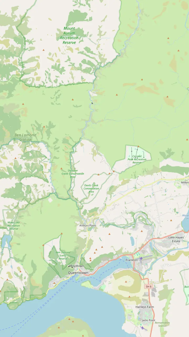
The first panel follows the town ride from the pier to the Shotover, the second climbs to Skippers, the third runs the lake road to Glenorchy and the Dart.
View 17 stops
Tap a route first, then a pin or stop, for its note and Google Maps.
Corner of Camp and Shotover streets: the Skippers bus stop and the Shotover Jet shuttle desk.
Google MapsThe canyon boats' river base at 3 Arthurs Point Road; check in 30 minutes early.
Google MapsThe one-lane bridge at Arthurs Point; early town trips once ran this far up the river.
Google MapsA short DOC walk to a view over the old Oxenbridge river diversion.
Google MapsThe top of the 13 km gravel road down into the canyon.
Google MapsHeritage New Zealand calls it the country's highest suspension bridge; opened in March 1901.
Google MapsSite of the gold-rush settlement; the restored school stands here.
Google Maps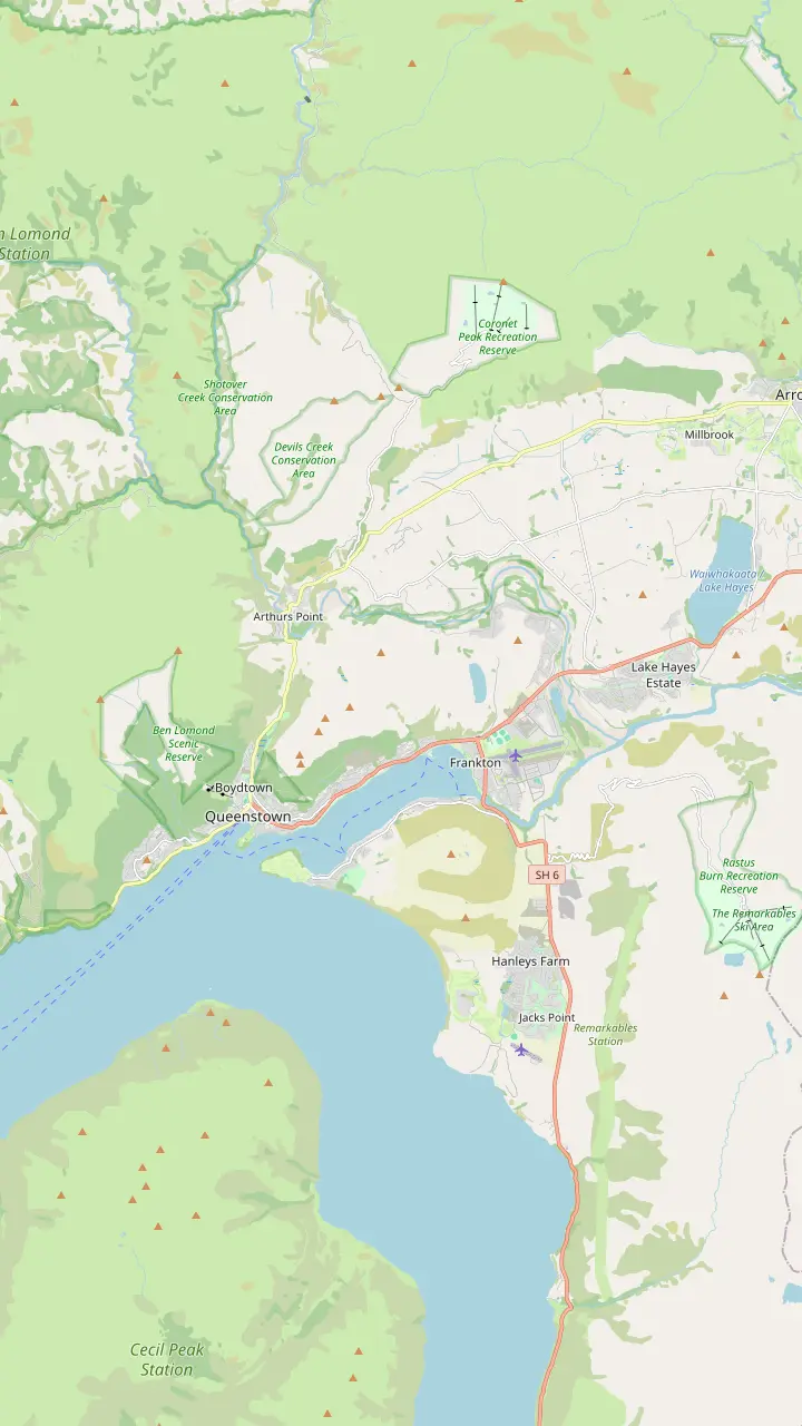
The KJet boats board here on Marine Parade and leave on the hour, 10am to 6pm.
Google MapsThe Thunder Jet kiosk; departures leave on the hour, a two-minute walk from the town centre.
Google MapsCorner of Camp and Shotover streets: the Skippers bus stop and the Shotover Jet shuttle desk.
Google MapsKJet's second departure point in Frankton, with a shorter ride of about 40 minutes.
Google MapsThe old 1926 gate structure, now a footbridge, that river boats pass beneath on the way out of the lake.
Google MapsTwo bridges cross the Shotover here; the restored 1915 span now carries walkers and cyclists.
Google MapsThe canyon boats' river base at 3 Arthurs Point Road; check in 30 minutes early.
Google MapsThe one-lane bridge at Arthurs Point; early town trips once ran this far up the river.
Google Maps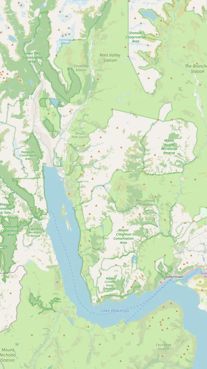
Corner of Camp and Shotover streets: the Skippers bus stop and the Shotover Jet shuttle desk.
Google MapsThe classic photo stop on the lakeside road to Glenorchy.
Google MapsDart Visitor Centre at 45 Mull Street; free parking outside.
Google MapsGlenorchy's lakefront at the head of Lake Wakatipu, 46 km from Queenstown.
Google MapsThe Dart River jet boats run under this bridge.
Google MapsThe beech forest here stood in for the gardens of Isengard.
Google MapsMap © OpenStreetMap contributors
Your morning
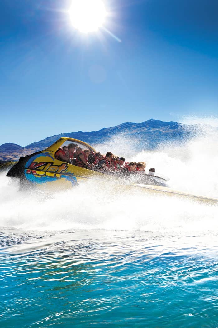
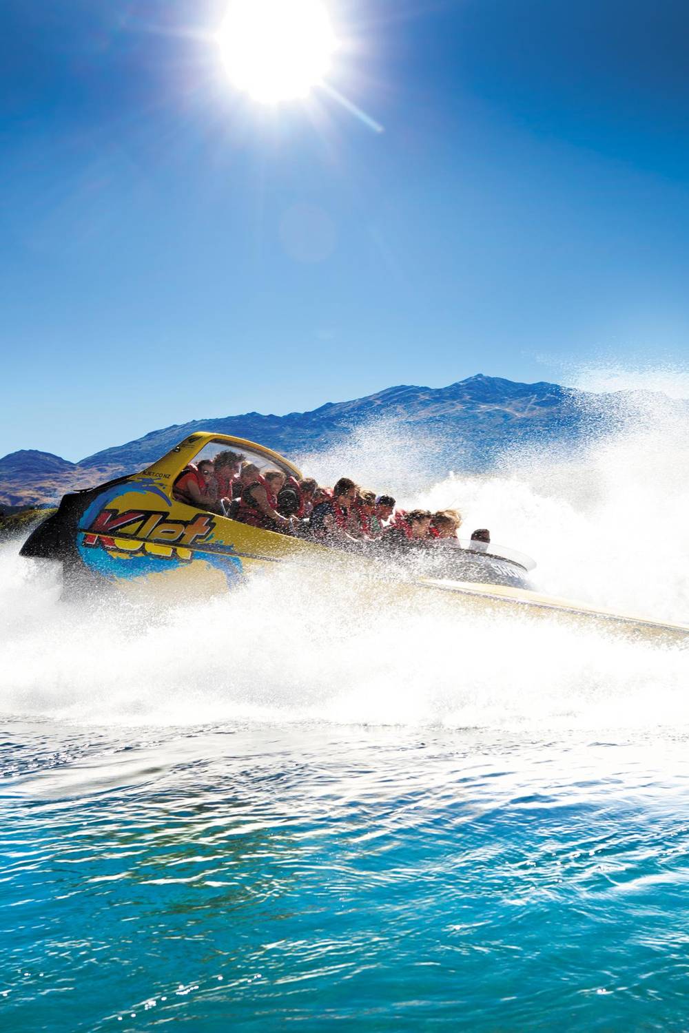
Once you are on the water, the canyon closes in. The operator describes its drivers running at speeds in excess of 80 kmh with a series of 360-degree spins.58 This is jet boating in Skippers Canyon near Queenstown at its most dramatic: steep schist walls, grey-green water and boulders that appear and vanish as the boat swings through each bend. Few rides anywhere put the scenery this close to your elbow.
Look for the old workings as you pass. The operator points out gold mining relics still lying in the river, plus film locations from The Lord of the Rings.59 It lists steel flumes, sheet piling, diversion channels and dredges left along the bank from the many ways miners chased the gold.60 The Sainsbury Gold Claim holds more relics from the rush, a reminder that the canyon was a workplace long before it was a ride.61
Expect spray rather than a soaking. The operator says the spins throw spray but riders do not get drenched, and it has spray jackets for anyone who wants one.62 Spray jackets and life jackets come with the trip.11 Hold tight to the rail through the turns, and save photos for the stops; a phone dropped here is gone for good in moving water. A strap or a zipped pocket is the cheap insurance.
Video
Chris Pugh on YouTube · Until you tap play, no video is loaded.
The easy gold out of what was then known as 'the richest river in the world' was quickly won.
Pack for the backcountry
The land around Skippers is now protected. It sits in Mount Aurum Recreation Reserve, which DOC gives as 9,100 ha of dramatic landscape with deep gold mining history.63 Sheep farming on Mount Aurum Station began in 1860, before the rush, and the run changed hands many times until it became a reserve.24 The restored homestead and the old school are the easiest places to picture daily life back then.
Further up, Bullendale holds a surprising record. In 1886 a hydro plant was built there to drive a gold stamper battery, and DOC calls it the first industrial use of electricity in New Zealand.20 Skippers Bridge, the suspension bridge across the canyon, was opened in March 1901 by the Minister of Mines.21 Heritage New Zealand calls it the country's highest suspension bridge.44 Even seen from the road, it is a striking piece of engineering for its age.
Treat the area as a museum without walls. DOC reminds visitors that this is a historic reserve where removing any object is illegal.53 Fires are banned because the risk to the landscape is too high.54 Keep an eye out for kea, falcon, harrier hawk, rifleman, tomtit and bellbird in the gullies and scrub; the kea in particular may come closer than you expect.64 Never feed them, however bold they get.
In summer the Skippers jet from Queenstown leaves at 8.30am, 12pm and 3.30pm, from October to April.4 Buses go from the Camp St stop at number 43, by the Station Building; be there and ready 10 minutes early.9 It runs to a strict schedule and cannot wait for late arrivals, so allow time to find parking in town.65 Walking down from a central hotel is the least stressful option, and the cafes nearby open early.
Practical details matter on a backcountry trip. Use the toilet in the Station Building before you leave, as the operator recommends.50 Bags stay locked on the bus while you ride.66 The listing sets a minimum age of 3 years. The operator cannot take pregnant passengers and does not advise the trip with a back injury.25 For clothes it suggests dressing as if you were going skiing up the mountain.67
Not everyone wants the boat. A 4WD heritage tour from Queenstown spends 4 hours on the road with views of the suspension bridge, the gold workings from Māori Point and a go at gold panning, from $178. A small-group gold rush tour also takes 4 hours, caps groups at 11 people and starts from $99. The jet trip is the one to pick if you want the river from water level.
FAQ
Board at the bus stop by the Station Building, 43 Camp St, 10 minutes early.9
It was built in four stages and is a single lane wide.5
Tourism New Zealand says it is closed for long-term maintenance, with tours diverting.22
The listing sets a minimum age of 3 years.
Sources
More to read
Not sure which Queenstown river ride suits you? Ask a real person here.